Maps
Note 1: All maps are in pdf format.
Note 2: Maps are not quaranteed to be completely accurate and are NOT TO SCALE.
Note 3: Most ranges have poor to no cell reception and no wi-fi (except for the electronic targets and that server does not connect to the internet).
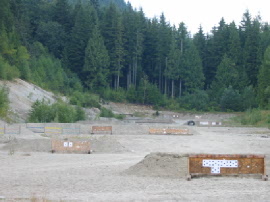 Mission & District Rod & Gun Club, Mission BC
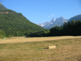 General Vokes Range, Chilliwack BC
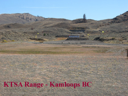 KTSA, Kamloops BC
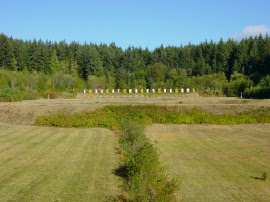 Nanaimo Military Range, Nanaimo BC
The Nanaimo file contains maps and directions to Nanaimo Military Range from:
1) Highway 19/Nanaimo Parkway (Nanaimo Parkway connects to Duke Point Ferry Terminal via Highway 19 and Victoria via Highway 1)
2) from Departure Bay (Ferry Terminal)
3) from points south of Nanaimo via the Old Island Highway (Highway 1/Highway 19a).